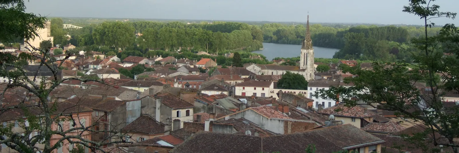
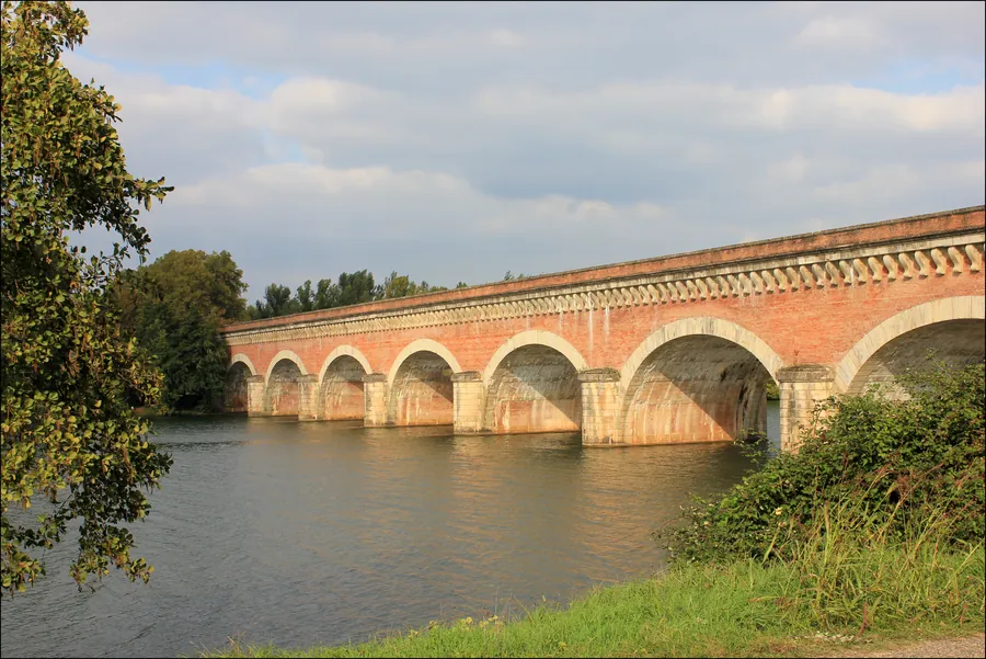
Seen from above, Moissac's layout explains at a glance why the town became such an important stop on the Camino to Santiago de Compostela. Between the Tarn river, the Canal latéral à la Garonne and the hills of the Quercy region, the site reads almost like a map, with the same landmarks pilgrims later recognise on foot, introduced in more detail on the Moissac home page.
The Tarn and the Cacor canal bridge
The Tarn flows through Moissac before joining the Garonne a few kilometres downstream, near their confluence. From a height, its winding course marks the natural edge of the old town. Right next to it, the Cacor canal bridge carries the Canal latéral à la Garonne over the Tarn without the two waterways mixing. Built in the 19th century and now also used by walkers and cyclists, it forms a long straight line that stands out clearly from the air, running parallel to the riverbed. It is one of the most recognisable landmarks in the valley, visible well before you reach Moissac itself.
The abbey at the centre of the view
At the centre of the panorama, the bell-tower porch and rooftops of the abbey church of Saint-Pierre still dominate the old town, much as they did when medieval pilgrims first approached Moissac. Seen from above, the layout of the Romanesque cloister behind the church becomes clear, tucked between the former monastic buildings. The visit itself, on foot and at ground level, is covered on the visiting Moissac Abbey and its cloister page, which helps make sense of each element once you are standing in front of it.
The viewpoint on the Calvaire hill
Without a drone or a plane, the Calvaire hill above the town offers one of the best accessible viewpoints on foot. From up there, you can make out the whole site: the loop of the Tarn, the straight line of the canal, the tiled roofs of the old town and, further off, the cultivated hills of the Quercy blanc. It is a popular stop for pilgrims passing through Moissac, often at the end of the day or at the end of the stage, to take in the whole picture of what they have just walked through.
Reading the landscape before moving on
Understanding this geography also helps picture what comes next: leaving Moissac, the via Podiensis climbs out of the Tarn valley towards the hills and on into Gascony. A last look back from above, at the Cacor canal bridge and the abbey growing smaller, is often one of the lasting images of this stage. For practical notes on getting to and from Moissac, see the getting to Moissac page.
Choosing a time to look
Light changes this view considerably through the day. Early morning, with mist still sitting over the Tarn, tends to soften the outlines of the canal and the rooftops, while late afternoon light picks out the texture of the tiled roofs and the surrounding hills more sharply. Photographers and casual walkers alike tend to favour the Calvaire viewpoint at these quieter hours, away from the midday heat of summer, when the valley is also at its most comfortable for the short climb up to the viewpoint itself.
In brief
- Moissac stands out from a distance thanks to the Tarn, the Canal latéral à la Garonne and the Cacor canal bridge.
- The abbey church of Saint-Pierre and its bell-tower porch remain the focal point of the view.
- The Calvaire hill offers an accessible viewpoint on foot over the whole town.
- This landscape also hints at what follows on the Camino, from the Tarn valley to the Quercy hills.