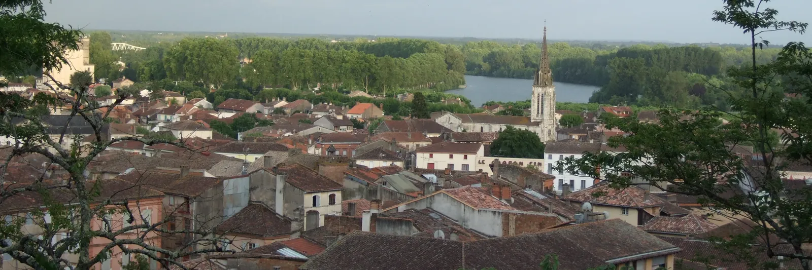
Leaving Moissac behind, the Camino continues west towards Auvillar. It is a gentler stage than many of the previous ones, but walkers still face one choice early on: which of two routes to take out of town.
Two ways out of Moissac
The official GR65 markers lead walkers across the Cacor canal bridge and onto the towpath running alongside the Canal latéral à la Garonne (see the home page for more on getting around Moissac). This waterside path is flat, partly shaded by the plane trees lining the canal, and very easy to follow since there is little risk of losing the way. On the downside, the scenery stays fairly repetitive over the distance, and the surface - often gravel or packed earth - can turn dusty in summer.
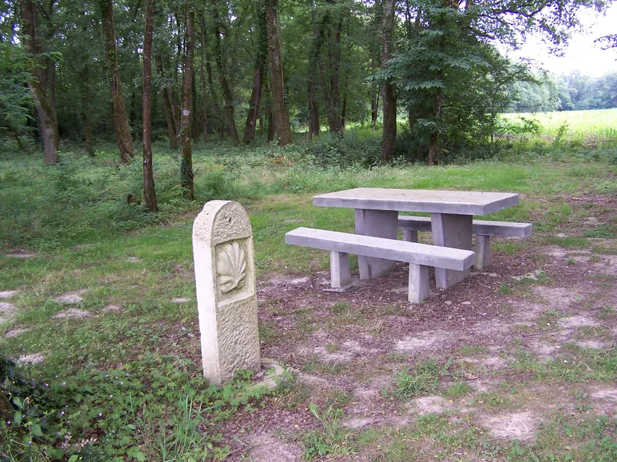
A more rural alternative also exists, branching away from the canal through the countryside towards Saint-Nicolas-de-la-Grave before rejoining the route to Auvillar. Some walkers who have already spent several stages beside the water choose this variant for a change of scenery and a bit more elevation change. It crosses more open farmland with less shade, and while the waymarking follows the same red-and-white GR system plus local Camino markers, junctions come up more often than on the canal route, so paying attention matters more here.
Weighing the two options
Which route suits best usually comes down to the day itself. The canal path works well in hot weather thanks to partial shade and flat ground, or simply after a tiring previous stage when following a straightforward line feels easier. The Saint-Nicolas-de-la-Grave variant asks for a little more navigation and effort but breaks the monotony of the canal and passes through an extra village with its own shops and water points. Overall distance is broadly similar between the two options on this stage, with no major gap - it is worth checking the exact mileage and current waymarking in a recent topo-guide or with a local pilgrim association, since details can shift between editions.
Water, supplies and accommodation
The canal route passes close to several spots offering water and a small shop along the way, particularly near villages on the bank. The inland variant goes through Saint-Nicolas-de-la-Grave, which has its own shops and pilgrim facilities; either way, accommodation capacity on this stretch stays limited outside the quiet season, so booking ahead during busier periods - for instance by asking at the Moissac tourist office before setting out, or checking pilgrim accommodation lists kept up to date by walking associations - is worth doing.
Before setting out
Whichever route is chosen, carrying enough water, suitable sun protection - shade is uneven on both paths - and a clear idea of where to stop for the night helps avoid arriving late in a village with few beds available. For packing advice suited to a stage like this one, see Packing for the Camino.
Practical info
- Two routes link Moissac and Auvillar: the canal towpath (flat, partly shaded) or the Saint-Nicolas-de-la-Grave variant (more elevation change and scenery).
- Overall distance is broadly similar between the two options - check exact mileage in a recent topo-guide.
- GR65 red-and-white markers and Camino signage cover both routes, with more junctions on the inland variant.
- Book accommodation ahead in busier months, as capacity on this stretch is limited.